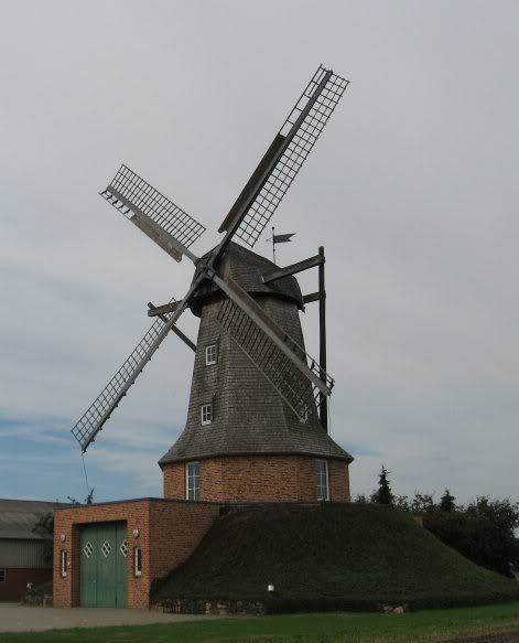
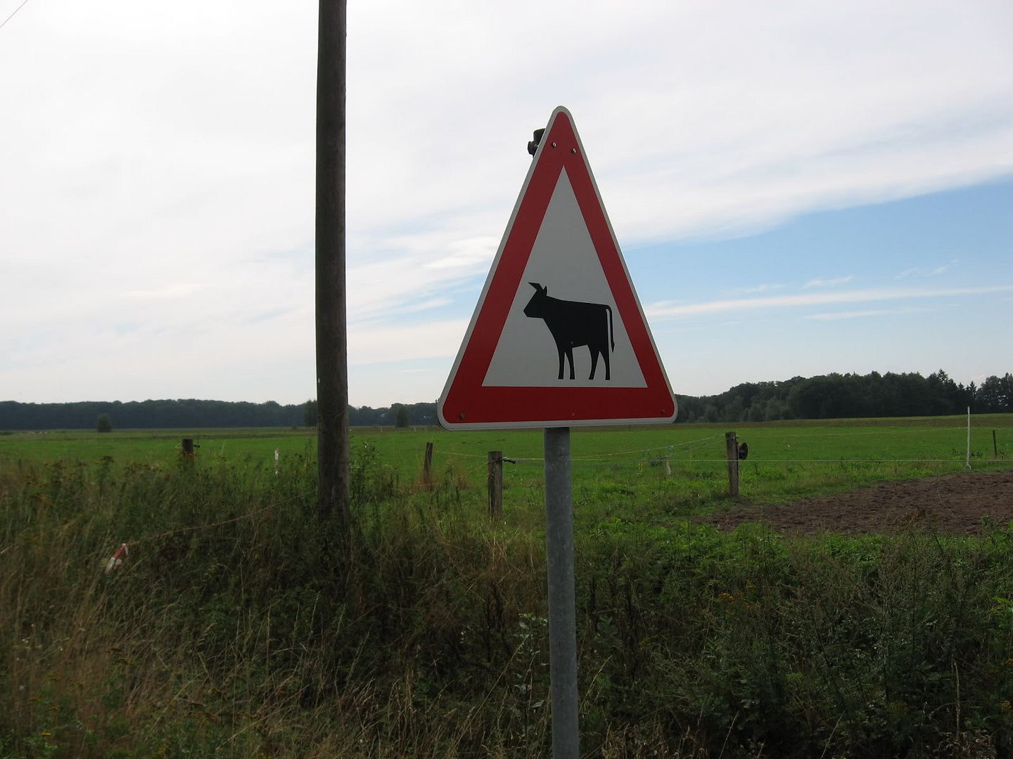
Turns out that this old windmill now houses the Saerbeck volunteer fire station. The path between Emsdetten and Saerbeck, or at least the one I took, isn't that well marked and does take you well out into the country, as illustrated by this cow crossing sign:
As I approached Saerbeck, clearly marked bike route signs pointed the way into town. I had taken this route before, so I knew what was in store if I continued to follow the bike route signs--a maze. I didn't even bother to try and figure out this route on the map, so you won't see the actual route I took through Saerbeck on the map above. I just followed the signs through town until I was confident that I was back on my original route. The first time I tried this, which was last year, I got turned around and lost. Soon after leaving Saerbeck, I came across the first sign pointing toward Tecklenburg:

According to the sign, I still had 23 km to go. The route from here was again very well marked. I had never taken this route before, but I knew it was leading toward the Dortmund-Ems canal which runs from the North Sea down to Dortmund.
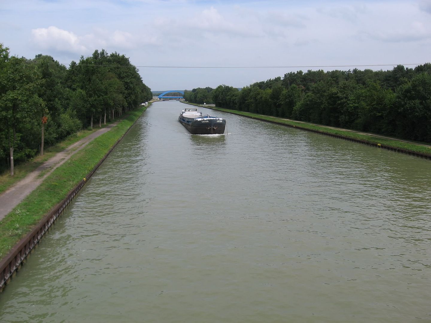
There is a bike path that runs the length of this canal. After resting for a few minutes on a bridge over the canal, I continued on the charted course. Again, the route was relatively well marked--at times too well marked:
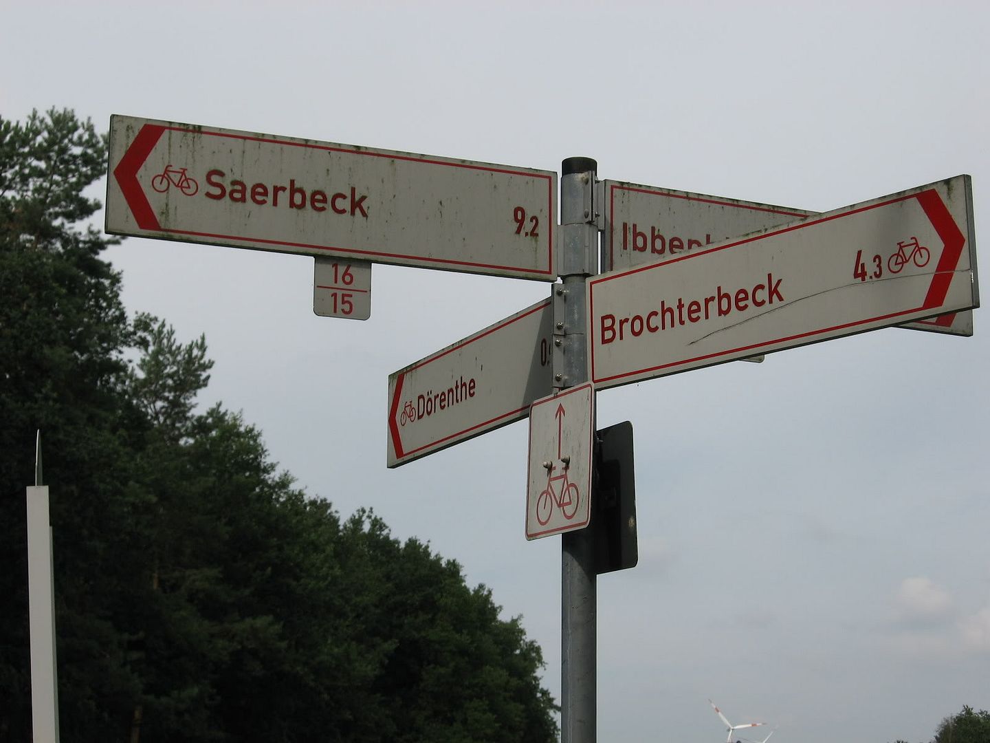
Click on the photo above to get a closer look. There are signs pointing to four different towns, none of which are Tecklenburg. This despite the fact that I was on the route that an earlier sign said was going to Tecklenburg. This is common on German bike paths, thus a route map is invaluable. I realized that I probably needed to keep going straight, although I later determined that I also could have taken the route to Brochterbeck as well, as that's where I eventually ended up.
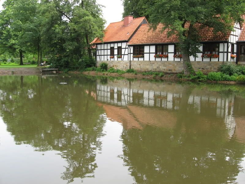
I am glad I took the path I did, though, as it took me up into the hills and along a residential street where the houses had an amazing view of the valley below. Once in town (see picture above), I took a short rest along the lovely pond overlooking an old wood-framed house. Or is the house overlooking the pond?
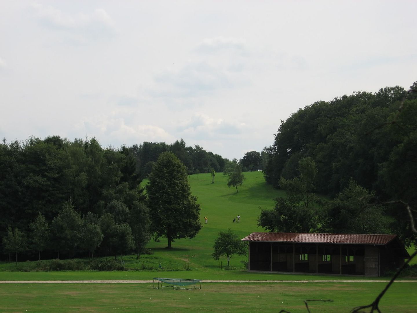
At this point it was clear that I would soon be climbing some hills. What I didn't expect was the route would turn into an off-road path. Soon after leaving Brochterbeck, the path wound up into the hills. Out of no where came into sight a golf course tucked into the low hills:
That was the least of the surprise. It turned out that the path had developed into something really more suited for a mountain bike (which I was riding), which went up a steep hill into a thick forest.
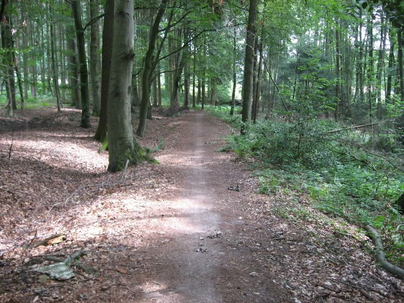
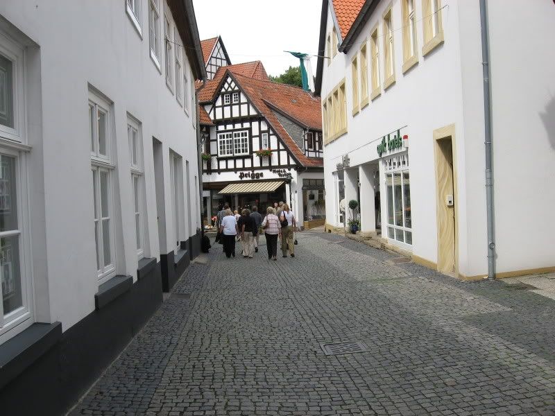
On my way through the forest I passed several bewildered "older folks" going in the opposite direction riding street bikes. I didn't have the heart to tell them that a steep decline was awaiting them. Soon after coming out of the forest, I saw signs saying that Tecklenburg was near. But near in this case was relative. In kilometers it was near. But the climb up to Tecklenburg made it seem like the end would never come. It did, and my reward was a wonderful, quaint town filled with wood-framed buildings like the one below:
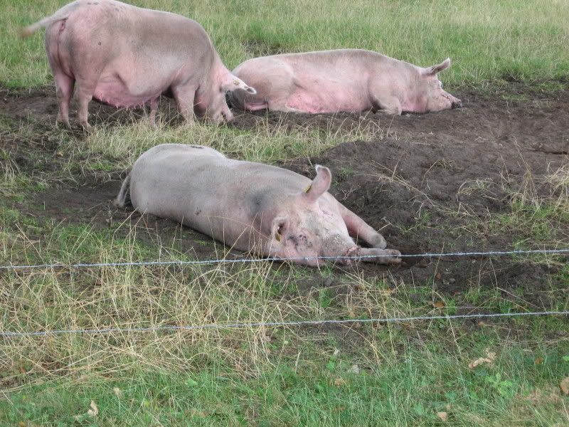
For the trip back, I decided to try and find an alternative route on the map. The route I thought I had found was not clearly marked and as usual I got lost. I finally found my way back to Brochterbeck (and from there just retraced my route), but not before running into these three beauties:
Round trip was 76 km. Trip time was a little under four hours with stops.
No comments:
Post a Comment